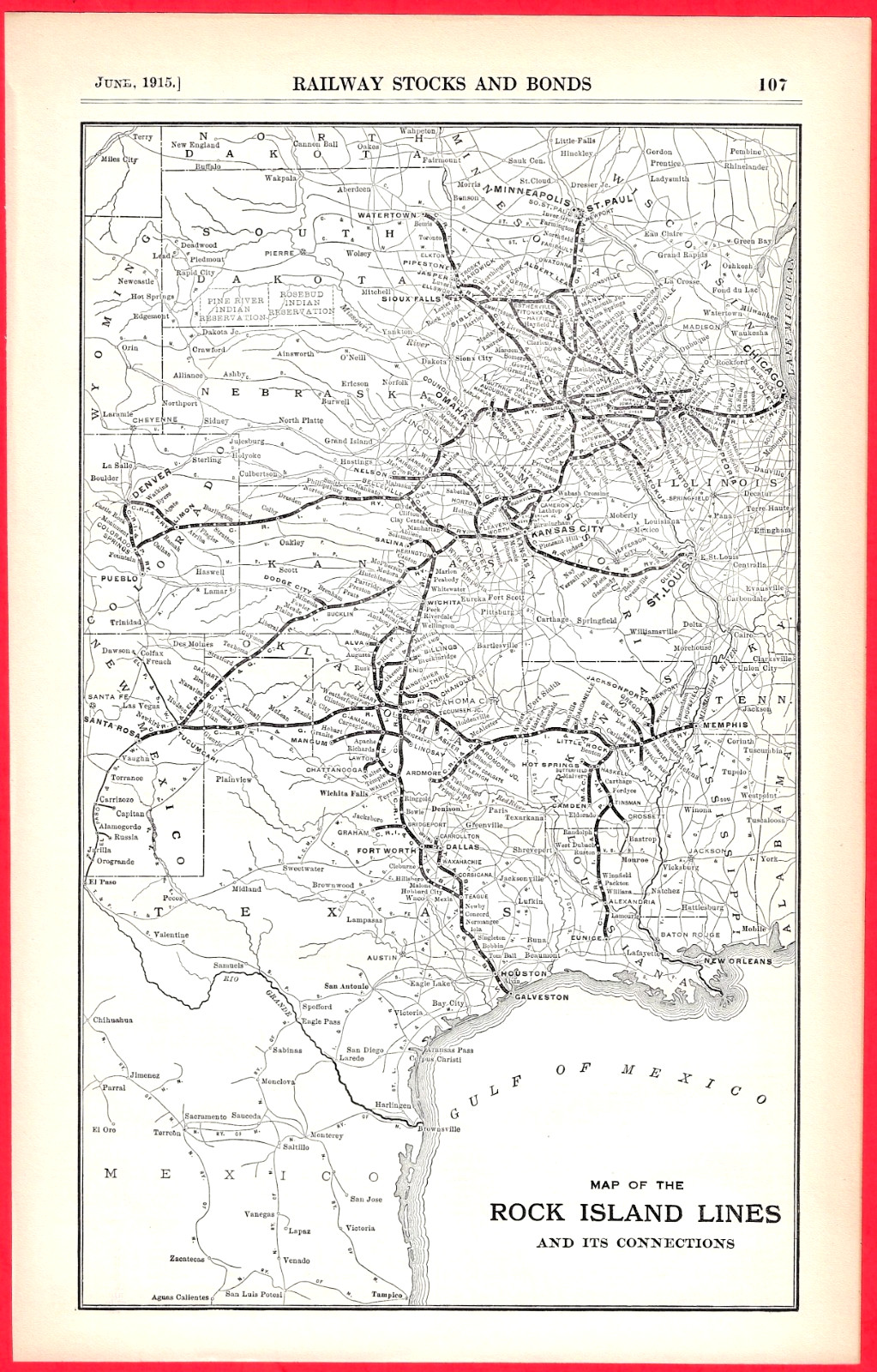
Vintage 1915 Rock Island Lines Railroad Map 8 x 12.5 For Sale
When you click on links to various merchants on this site and make a purchase, this can result in this site earning a commission. Affiliate programs and affiliations include, but are not limited to, the eBay Partner Network.
Vintage 1915 Rock Island Lines Railroad Map 8 x 12.5: $25.00
Original antique 1915 "Map of the Rock Island Lines and its Connections". This historic piece was originally published as a premium insert page for the 1915 "Investors' Supplement" of the prestigious Commercial & Financial Chronicle. Because this specimen was printed flat for a financial journal rather than a passenger pocket timetable, it has never been subjected to standard folding or cross-creases. Map provides a highly detailed geographic overview of the network during the golden era of American railroading, tracking paths from North Dakota down to Texas with major hubs in Chicago, St. Louis, Kansas City, Omaha, Denver, Memphis, Dallas, and Fort Worth. Very Nice condition. This map is clean and completely flat with NO FOLDS. The paper is structurally sound and the edges remain crisp. There are no tears, stains, or centerfold separations. Because it has never been folded, it is an absolute prime candidate for professional matting and framing. Please see the photos for a precise look at the condition. 700 Our 27th year on