When you click on links to various merchants on this site and make a purchase, this can result in this site earning a commission. Affiliate programs and affiliations include, but are not limited to, the eBay Partner Network.
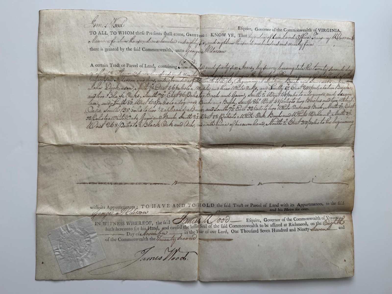
The document grants 256 acres to George Alderson, surveyed on March 22, 1792, in what was then Monroe County, Virginia, now part of West Virginia. The grant contains a lengthy manuscript description of the property\'s metes and bounds, identifying neighboring landowners and natural survey markers including white oak, black oak, maple, buckeye, beech, gum, and sugar trees—classic features of eighteenth-century frontier surveys.
Signed in a bold hand by Governor James Wood, the document also retains its original embossed wafer seal, still protected beneath its original paper guard—an increasingly uncommon survival among Virginia land grants.
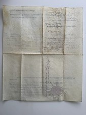
The reverse bears contemporary ownership docketing and later transfer notations, adding to the document\'s provenance and history of ownership.
Printed on period laid paper and measuring approximately 15 x 12 inches [estimated], the grant remains in good to very good condition with original folds, moderate age toning, light staining consistent with its age, and no significant loss of text.
An outstanding example of an original eighteenth-century Virginia land patent, combining an attractive gubernatorial autograph, intact state seal, and a direct connection to the settlement of Virginia\'s western frontier. An exceptional acquisition for collectors of colonial and early American manuscripts, Virginia history, Revolutionary War-era documents, western expansion, and historic land grants.