When you click on links to various merchants on this site and make a purchase, this can result in this site earning a commission. Affiliate programs and affiliations include, but are not limited to, the eBay Partner Network.
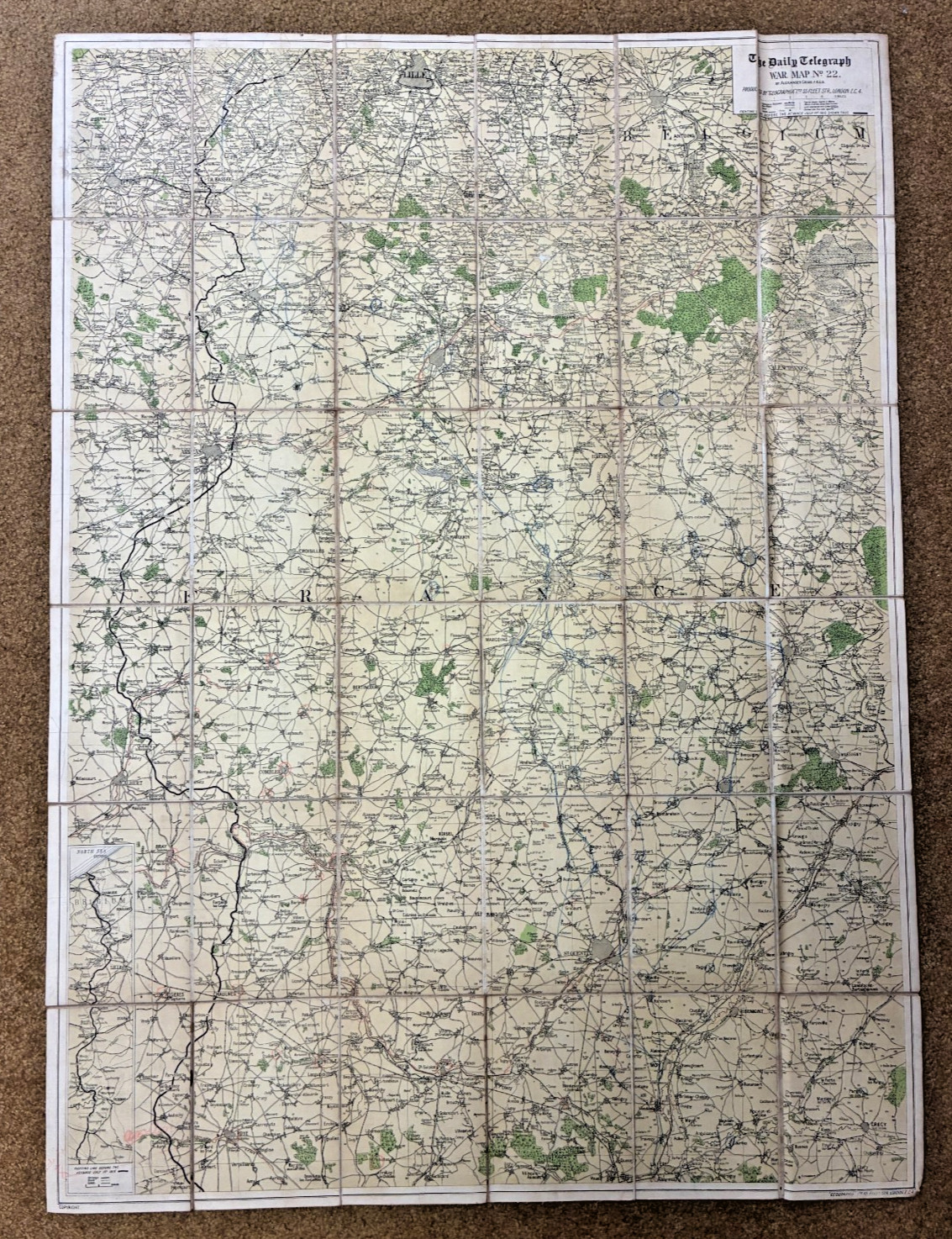
DAILY TELEGRAPH WAR MAP No. 22 — FRANCE & BELGIUM
Alexander Gross F.R.G.S. • Geographia, London • Linen‑Backed Field Map
Stamped: Headquarters Philippine Dept., Office of the Department Engineer (Sept. 27, 1918)
Description
Original WWI‑era Daily Telegraph War Map No. 22 of France, compiled by Alexander Gross, F.R.G.S. and produced by Geographia, 55 Fleet Street, London. This is a large, linen‑backed operational map issued during the final months of the First World War, covering France in full with an additional section of Belgium included along the northern border.
This example carries a clear military provenance stamp on the linen:
“HEADQUARTERS PHILLIPINE DEPT., SEP 27 – 1918, OFFICE DEPARTMENT ENGINEER, MANILLA, P.I.”
A strong indicator that this map was used by U.S. Army engineering staff during the war.
Measurements
- Open: approx. 40 x 29 inches
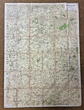
- Folded: approx. 6.75 x 4.75 as issued; expected age toning and discoloration to the linen.
- Visible blue pencil markings (circles, lines, notations) consistent with field or planning use.
- Light wear from handling and folding, appropriate for a 1918 operational map.
- Presents extremely well and would look excellent matted and framed.
Provenance
This map was part of a larger group of WWI maps attributed to Major Baird, whose material included reconnaissance sheets, operational maps, and field‑used cartography from the 1914–1918 period.
Additional Notes
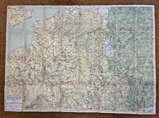
- Last photo is for reference only and is not included in the sale.
- Over the next week, I will be listing more than two dozen additional WWI‑era maps and reconnaissance artifacts, many with similar field provenance.
I