When you click on links to various merchants on this site and make a purchase, this can result in this site earning a commission. Affiliate programs and affiliations include, but are not limited to, the eBay Partner Network.
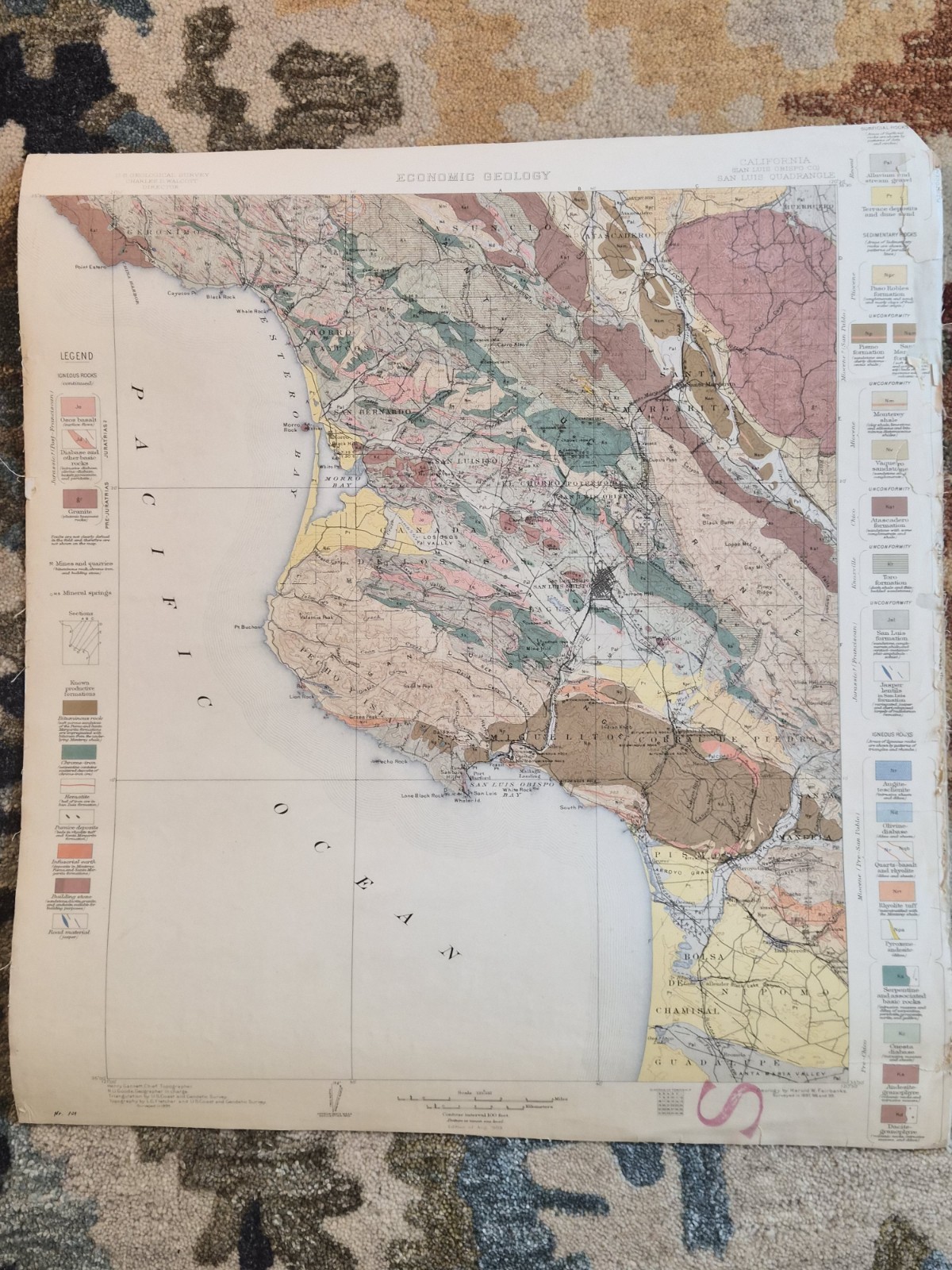
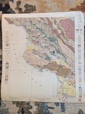
Original U.S. Geological Survey Economic Geology Map of the San Luis Quadrangle, San Luis Obispo County, California. Surveyed in 1895 and issued in August 1903 under the direction of Charles D. Walcott.
This highly detailed color geological map covers the central California coast including San Luis Obispo, Morro Bay, Cayucos, Toro Creek, San Geronimo, and surrounding areas. The map identifies rock formations, mineral resources, fault structures, topography, and economic geology features throughout the region.
Professionally cloth-backed for durability and bearing evidence of academic use. An excellent early California geological reference and a desirable collectible for map, geology, mining, and California history enthusiasts.
Condition: Vintage condition with age-related toning, edge wear, and a repaired tear/loss area along the right legend margin. Cloth backing remains intact. Please review all photographs carefully for exact condition.
Details:
U.S. Geological Survey (USGS)
San Luis Quadrangle, California
San Luis Obispo County
Economic Geology Edition
Surveyed 1895
Edition of August 1903
Scale 1:125,000
Cloth-backed
Original period issue, not a reproduction
Map will be rolled and placed in a tube for shipping.