When you click on links to various merchants on this site and make a purchase, this can result in this site earning a commission. Affiliate programs and affiliations include, but are not limited to, the eBay Partner Network.
A Genuine Texas Oil Boom Artifact
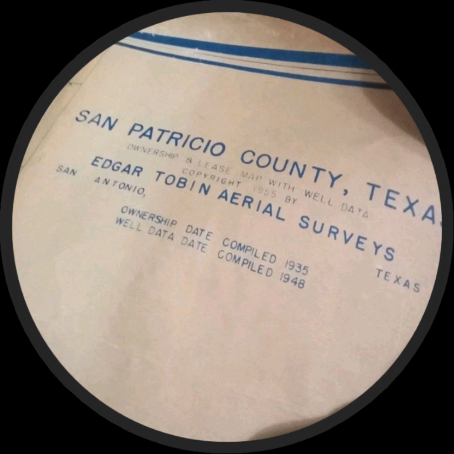
Original 1930s Tobin Aerial Survey wall map of San Patricio County, Texas — approximately 8 feet, showing the Plymouth Field with its 1935 discovery well (Welder Well C-1, marked as Plymouth 1-C, 5503\').
PROVENANCE
Purchased by the consignor years ago from a private Texas source and retained in a private collection since. This is an original period working map — not a reproduction. The Plymouth Field discovery (April 1935, Plymouth Oil Company, Welder Ranch) is documented on the sheet itself, with the discovery well identified by name and depth.
WHY YOU SHOULD BUY THIS MAP
• Discovery-era document: printed within the working life of the 1935 Plymouth discovery — this is the map oil scouts actually used when the field was new, not a later reprint. • Tobin pedigree: the Tobin Aerial Survey Co. of San Antonio made the lease maps the entire Texas oil industry ran on. Original Tobin wall sheets are increasingly scarce — most were used up and discarded. • Three histories in one: a Depression-era oil discovery, the ranch-to-oilfield transformation of the legendary Welder Ranch, and the independent wildcatters who opened the Coastal Bend trend. • Display presence: at ∼8 feet, professionally framed, this is a showpiece for an office, ranch house, or collection — a conversation piece with real history behind it. • Investment-grade Texana: original Texas oil maps with documented discovery wells are a finite, shrinking supply. They don\'t make more of these.
CONDITION: Has some tears on edges. Staining on outer portion of Mmap. Inside of map is pretty much intact. Original notations with pen and markers.
© 2026 Ricardo Salinas. Private collection.